About the design
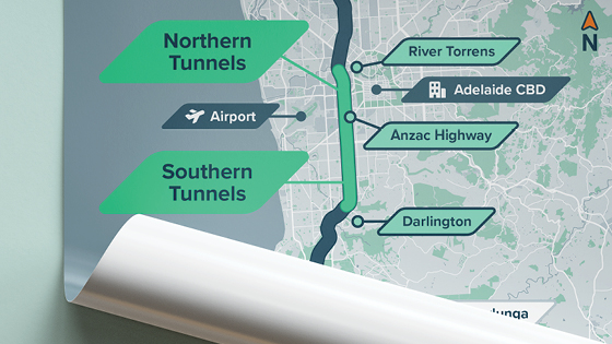
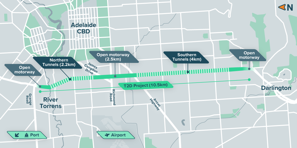
The T2D Project involves constructing two separate tunnels – the Southern Tunnels and the Northern Tunnels. The tunnels will be connected by an open motorway. The motorway and the tunnels will have three lanes operating in each direction, with a combined total distance of 10.5km.
Southern Tunnels
- Run between the open motorway at Darlington to just south of Anzac Highway in Glandore and provide key connectivity to Anzac Highway
- Includes about 4km of twin three-lane tunnels
Open motorway linking the tunnels
- Connecting key routes such as Richmond Road and James Congdon Drive, it will provide critical east-west connectivity and links to key destinations such as the airport
- Just over 2.5km in length
Northern Tunnels
- Run between James Congdon Drive and the existing open motorway south of Grange Road
- Includes about 2.2km of twin three-lane tunnels
When complete, more than 50% of the T2D Project will be tunnels.
- Twin tunnels
- 3 lanes in each direction
- 80 km/h speed limit
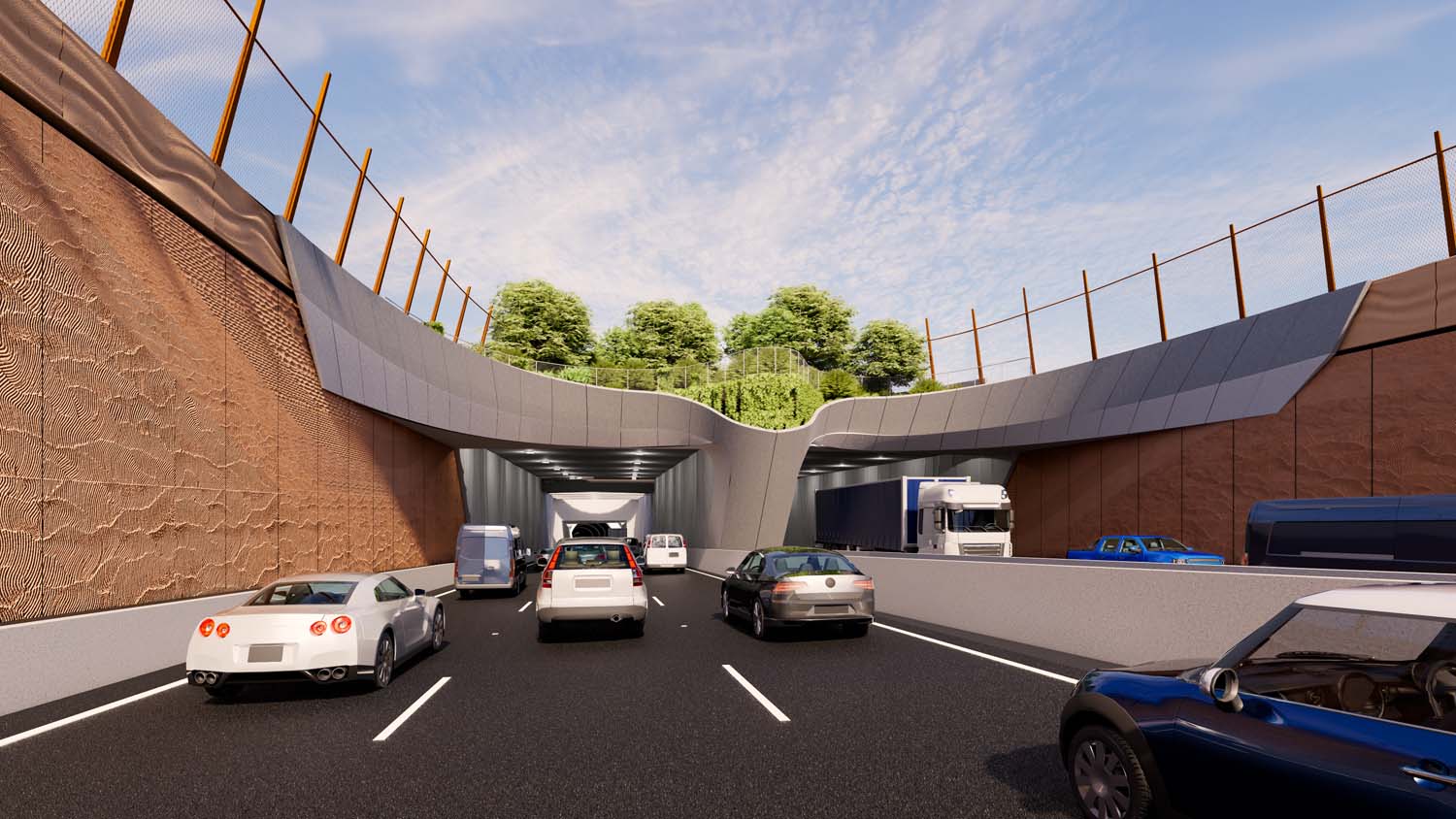
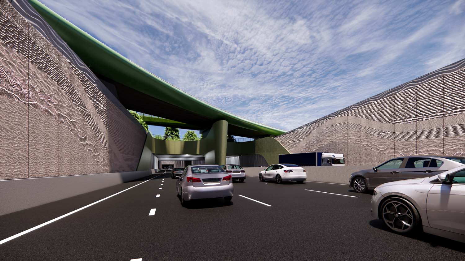
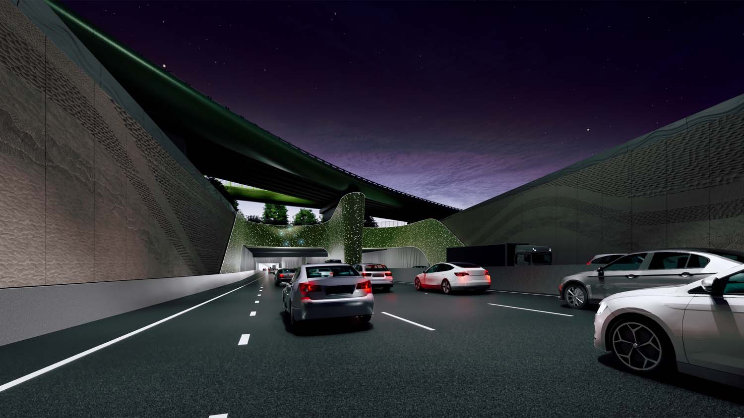
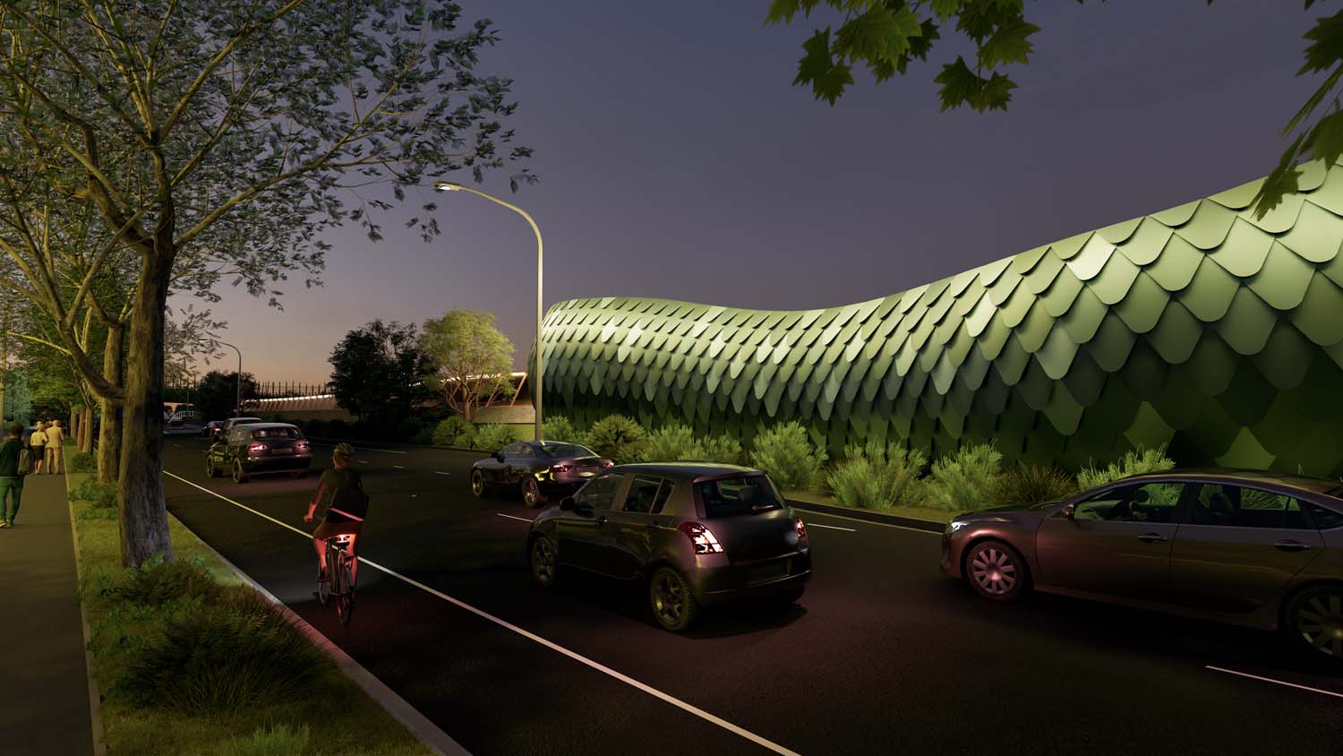
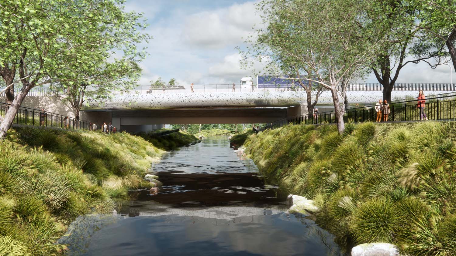
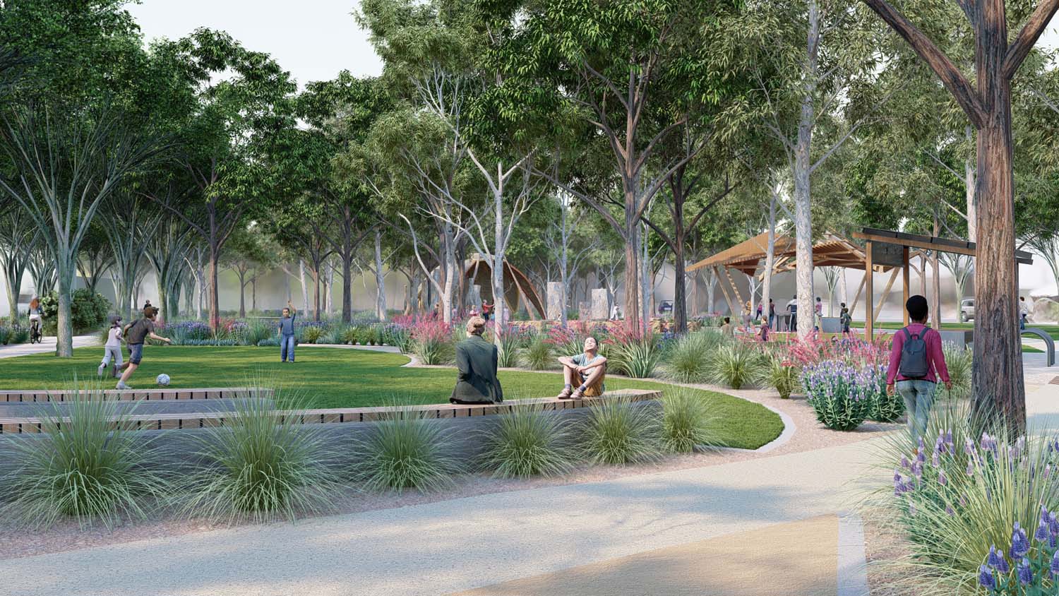
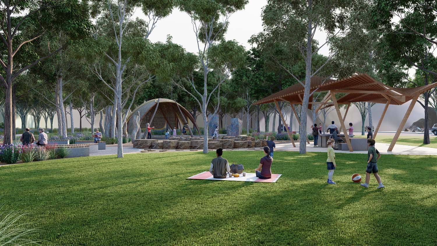
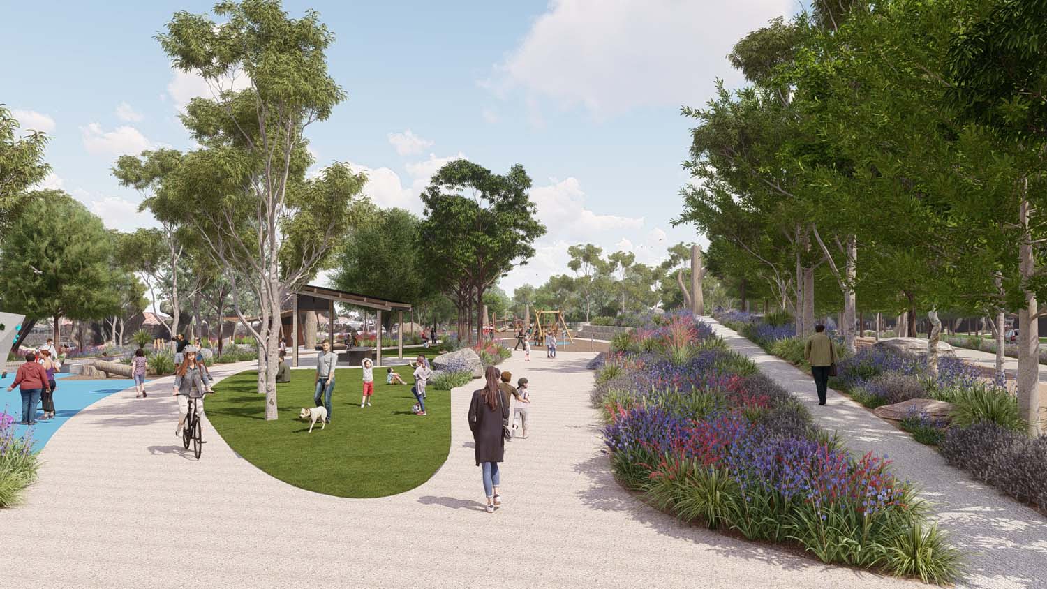
Artist's impressions
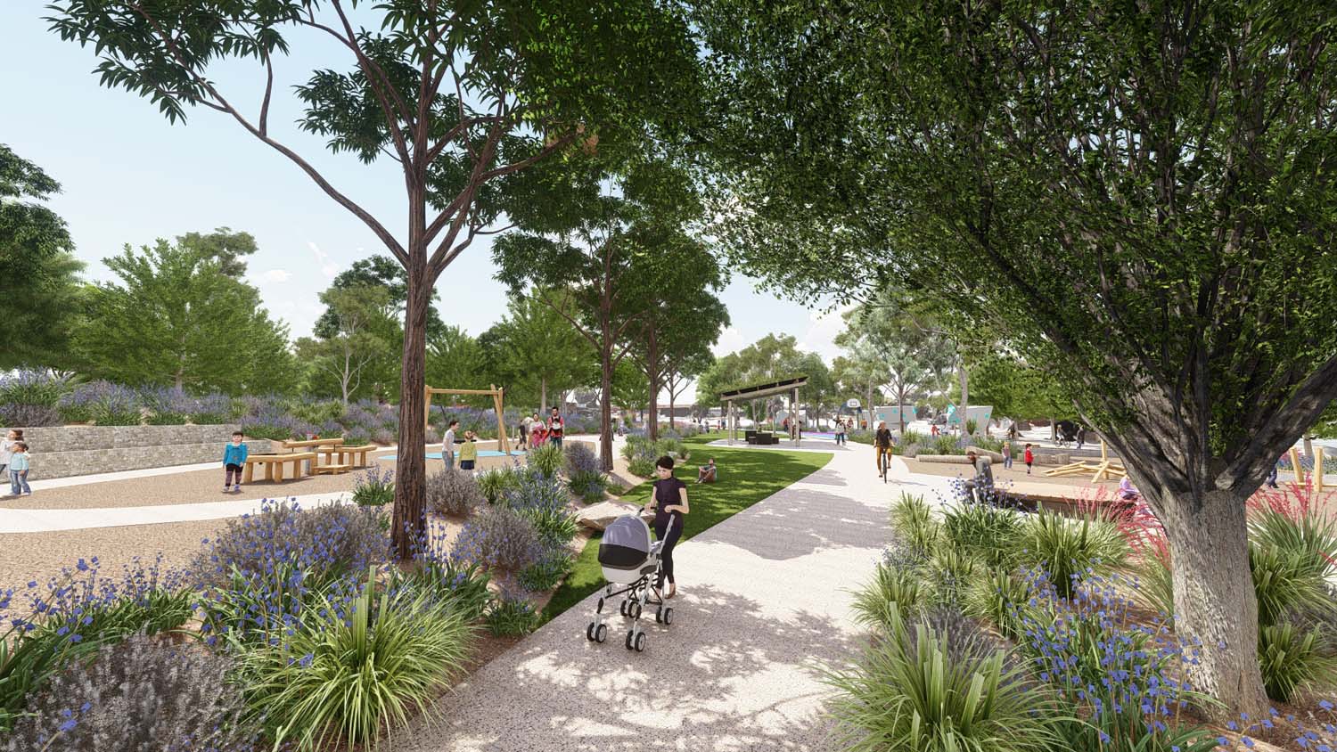
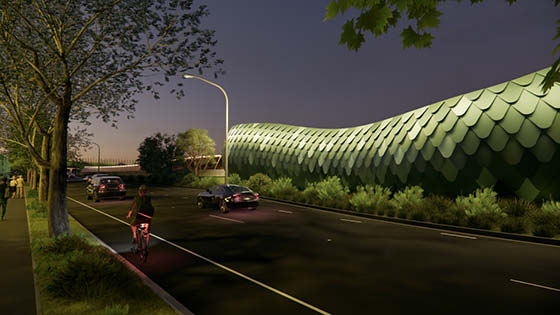
Use the image gallery to see concepts of what the tunnel portals and open spaces in the project area might look like when complete.
Motorway design
Watch the video to get an overview of the tunnels and motorway design.
Overview map
The map below provides an overview of the project layout.
Related pages
*Images displayed on this page are artist's impressions.
